
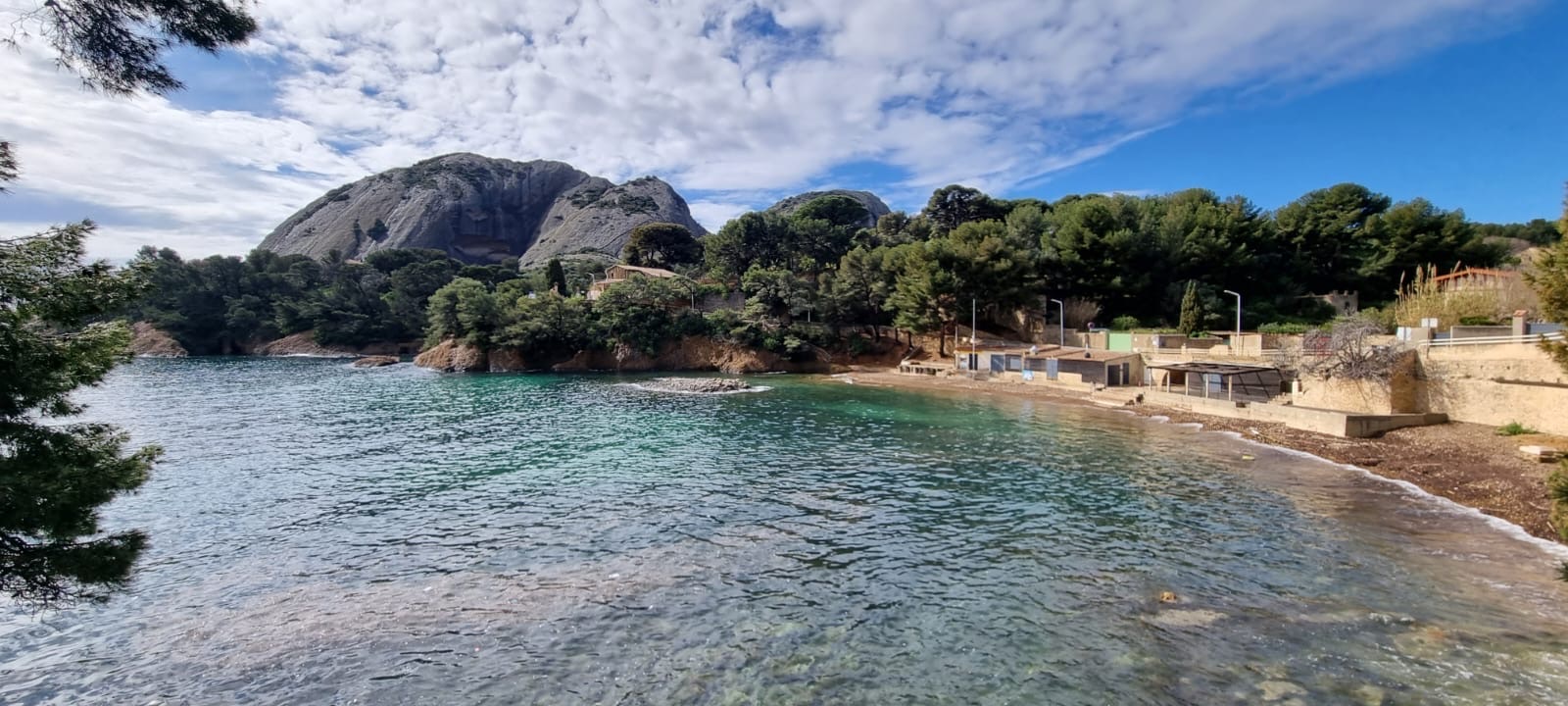
What's at stake?
An emblematic land and sea park in the northern Mediterranean near Marseille, the Calanques hold the region’s full range of marine ecosystems, from dramatic underwater canyons to Posidonia meadows and coralligenous reefs. With seven no-take zones created in 2012, it carries one of the Mediterranean’s highest levels of protection, yet its biodiversity-rich seascapes remain under pressure from anchoring, fishing and other activities.
Communities involved
Students and young learners from the Marine Educational Area, including the “children’s reserve” at the Calanque du Mugel
Science plan summary
Main scientific question: Are listed southern, non-native, common and protected species present at each site? (Stated priorities: raise pupil and student awareness, and test eDNA in the park for the first time.)
Localities sampled (4): Petit Mugel (La Ciotat), Sormiou, Frioul Saint-Estève, Riou/Maronaise
Why there: All have Educational Marine Areas; Riou sits in the core protected zone, in contrast to the urbanised sites
Sampling dates: Sep 2026, Jan, Apr, late Jun and late Sep 2027, and so on to Sep 2028
Why then: No seasonal pattern is expected. The schedule simply avoids July–August tourism and school holidays.
About our site
Located in the south of France near Marseille, the second biggest city of the country, in the northern part of the Mediterranean Sea, the Calanques National Park is emblematic for its cultural and environmental richness. All the marine ecosystems are inside this MPA, from the abyss with spectacular underwater canyon through the well-known Posidonia meadow. The Calanques National Park is also home to beautiful coralligenous habitats. Underwater landscapes are unique and rich in biodiversity.
The protection is one of the highest in the Mediterranean Sea, with 7 no-take zones created in 2012, dedicated to regulations of activities and improving ecological and socio-economic development. Other regulations exist and are documented on the website of the national park. Its specificity also lies in being both a terrestrial and marine protected area.
“We need the data to better understand the impact of pressures such as anchoring and fishing on local biodiversity, and embark local communities in that journey.”
What we plan to achieve
The purpose of eDNA Expeditions is above all to improve awareness and participation of local communities by involving local students from the Marine Educative Area and students from university. The project will help to record the complex biodiversity of marine life under different types of pressure and regulations, including anchoring and fishing activities.