About our site
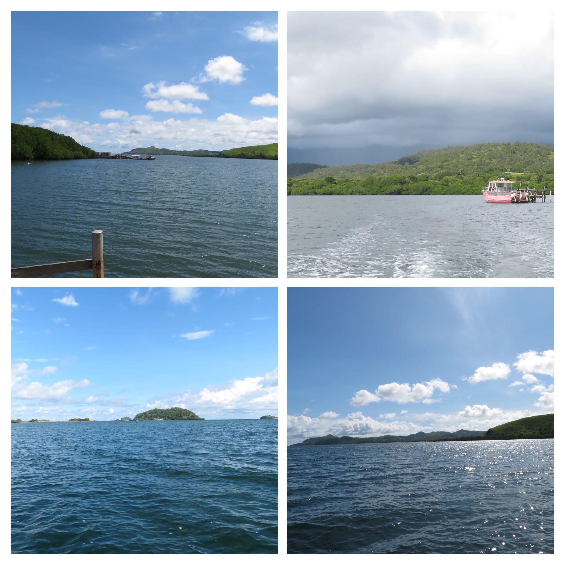
Bootless Bay is a marine managed area located 15 km south east of Papua New Guinea’s capital, Port Moresby. Ecosystems in Bootless Bay include mangroves, seagrass beds, fringing reefs, reef flats, barrier reefs, estuaries and lagoons, sandy and muddy shelves, and neritic and oceanic pelagic zones. The coast and islands are composed of savannah and monsoon woodland vegetation.
Away from urban development, the bay is minimally used by the surrounding traditional villages. Bootless Bay provides undisturbed habitats for marine organisms, providing a source and sink for fisheries, carbon sink and other ecosystem services. The wide range of habitats in the bay give rise to diversity of marine organisms. The bay has been long used for dive sites by Loloata Island Resort, and marine study sites by University of Papua New Guinea’s Motupore Island Research Centre, both located in the bay. As in most of Papua New Guinea’s inhabited coasts, the bay is still used by traditional communities for fisheries and transport, and mangroves used for food gathering, building material, firewood.
In the last 10–20 years, Bootless Bay has become vulnerable to disturbance with the encroaching urban area into this area of predominantly customary land (owned by traditional landowners — the Motu-Koitabu).
What we plan to achieve
Bootless Bay in Central Province, Papua New Guinea is a marine managed area, proposed by Papua New Guinea’s Conservation and Environment Protection Authority (PNG CEPA) as a Marine Protected Area. To this end, biodiversity and ecology baseline surveys and reporting have been carried out by University of Papua New Guinea’s Centre for Biodiversity and Natural Products. Biodiversity inventories for Bootless Bay have been produced using mostly traditional biodiversity survey and sampling methods, with limited eDNA sampling in the area.
With conservation and research activities in and around Bootless Bay, it is useful to have information on the status of habitats and biodiversity. We intend to get a baseline of eDNA sampled biodiversity data from inside Bootless Bay marine managed area and just outside the managed marine area, which is open to more anthropogenic stressors. This data can be used to compare differences in organisms detected inside and outside the marine managed area, and can also be compared with data collected in future eDNA sampling and against current biodiversity inventory lists produced by other survey and sampling methods.
Ecosystems we would monitor are at mangroves’ seaward edge and over reefs. The eDNA Expeditions sampling activities are in line with Motupore Island Research Centre’s ecosystem monitoring program, whose objectives are to establish and monitor the status and trends in ecosystems in Bootless Bay — especially around Motupore, Tahira and Bogoro Inlet — and to provide reporting of environmental and biodiversity data over time in Bootless Bay managed marine area and surrounds.